MEASURE now PRO

GNSS rover system: Precisely measured. Simply stake out. Continue working digitally.
The GNSS rover system MEASURE now PRO and the MEASURE app combine powerful hardware with intuitive software. This combination enables precise measurements, efficient data processing, and seamless integration into digital workflows – in any situation!
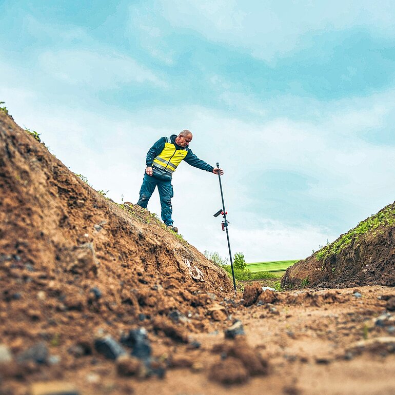
Your benefits with MEASURE now PRO
- Complete GNSS system with rover rod, construction site-ready tablet and software
- Intuitive operation for fast measurements and direct data processing
- Robust hardware for precise results in everyday construction site use.
- Unlimited slant measurement for hard-to-reach measuring points
- Simple staking and control measurement for construction projects of any size
- Seamless data transfer of measurement and planning data
- Ready to use immediately, easy to operate and practical
- Greater security in measurements, amendments and documentation
- Less rework in the office
This is how it works MEASURE now System
Hardware & software - a perfect interaction
With the GNSS rover rod MEASURE now PRO Capture points, lines, areas and volumes quickly and precisely. The associated MEASURE app This ensures that all measurement data is captured and processed in real time and directly transferred to the system for further use. CAD or can be transferred via BIM.
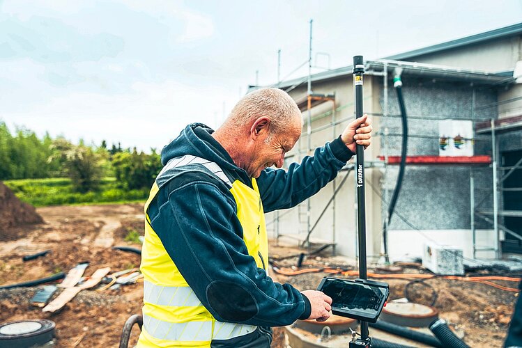
Measure effortlessly - in any position
Thanks to true tilt compensation, MEASURE now PRO is precise even under difficult measuring conditions. The MEASURE app, the application program, automatically handles the correction and enables precise results – without having to pay attention to a spirit level.
With the MEASURE now With the PRO system, you can take measurements accurate to the centimeter, even with a horizontal or even more steeply inclined plumb line. This allows you to precisely measure hard-to-reach objects such as wall edges, electrical boxes, roof overhangs, or treetops – tasks that were previously impossible with conventional GNSS systems.
Furthermore, the rover rod impresses with its exceptional data accuracy: It processes signals from all common satellite navigation systems – GPS (USA), GALILEO (Europe), BEIDOU (China) and GLONASS (Russia). This enables reliable measurements down to the centimeter range, even in challenging locations such as under trees or in street canyons.
Use digital data right from the start
Through the direct connection of the MEASURE app to CADGeoreferenced survey data can be used in planning and billing software as early as the planning phase. Deviations from the plan are identified early, additional work is quantified, and documentation is created efficiently.
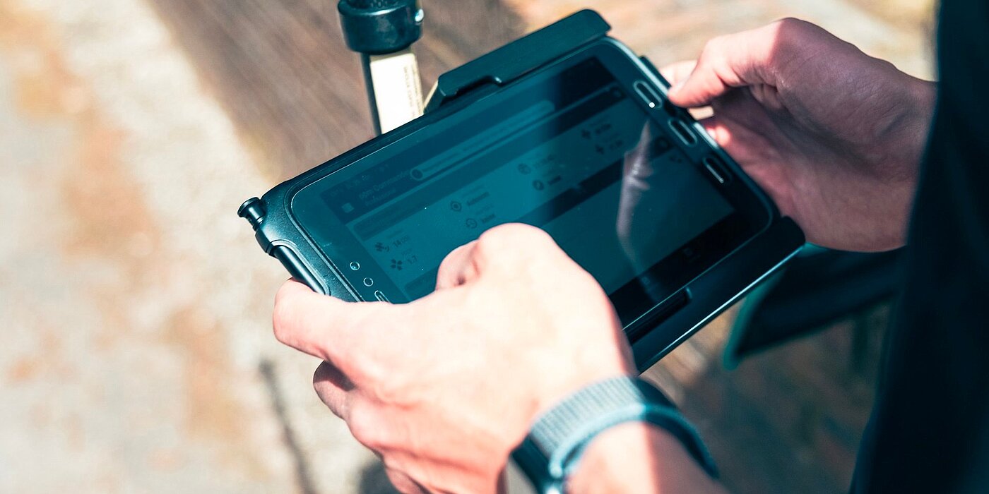
Smart documentation with the MEASURE app
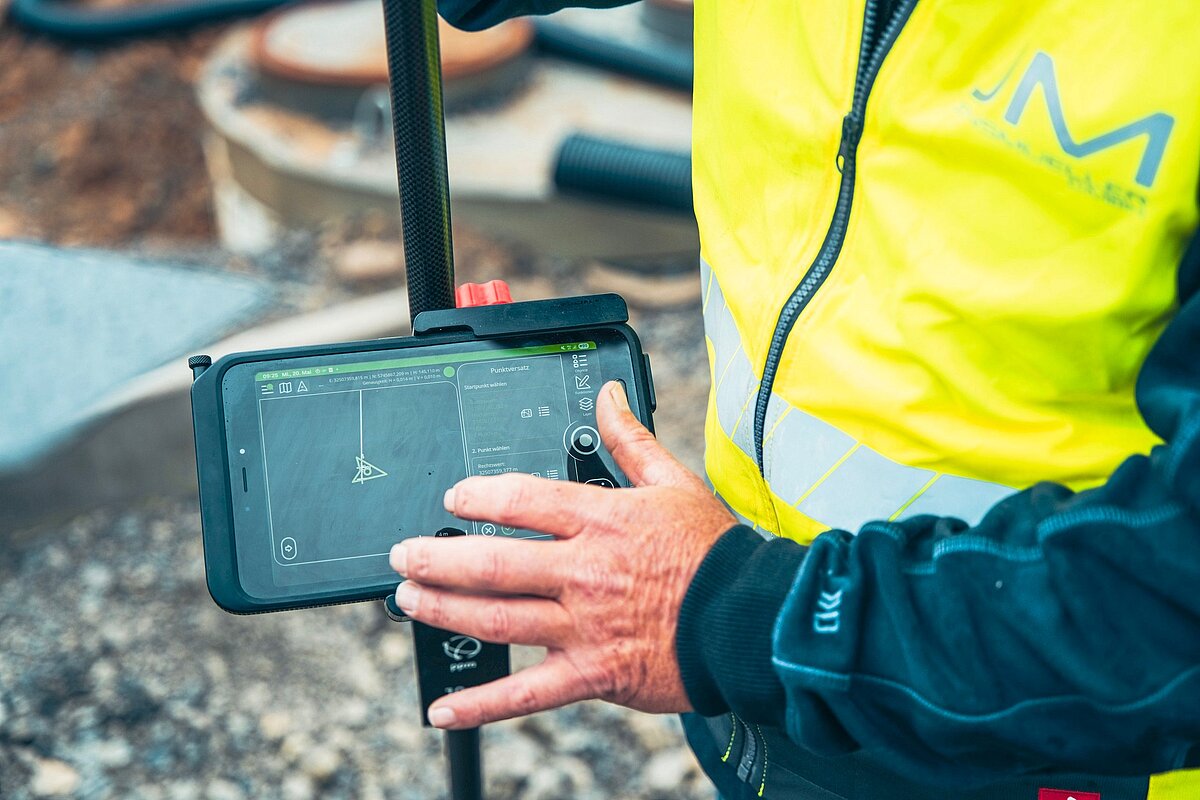
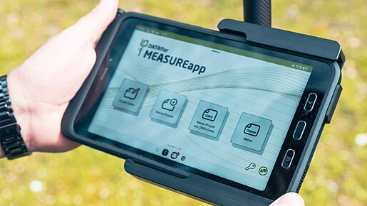
The MEASURE app transforms simple measurement data into valuable, intelligently linked information:
- Accurately document pipelines, boundaries and building structures
- Assign attributes directly to objects
- Easy staking out of construction projects
- Robust, waterproof rover pole with construction site-ready tablet
- Easy-to-read touchscreen display - even in sunlight
- Easy to use and quick to familiarize yourself with
- Integrated battery for cordless operation
MEASURE now PRO + MEASURE app = Efficient surveying
Terrain models and orthophotos with just a few clicks.
The MEASURE now PRO System combines state-of-the-art GNSS technology with a powerful software solution. MEASURE app ensures intuitive operation, smart data capture and smooth further processing - for a consistent digital measurement from the first point to the finished invoice.

MEASURE now with rod and helix antenna
- FULL RTK GNSS sensor
- Antenna rod with protective bag
- Clamping system for antenna rod
- Rod holder for Tablet PC
- Samsung Galaxy Tab Active 5 5G, 10-inch display, 128 GB storage, LTE, Android operating system, connectivity: Wi-Fi, Bluetooth, NFC, including outdoor case and stylus for writing and operating
- Includes wireless Bluetooth button
- USB-C cable for communication and charging
- Stable transport case with foam insert
For operation you need a separate RTK service and a mobile phone card.
Precise measurements. Limitless possibilities.
Digital surveying is the basis for efficient construction processes. Because those who start with accurate data plan more reliably, build more controlled, and invoice more verifiably. MEASURE now PRO supports you throughout the entire construction process:
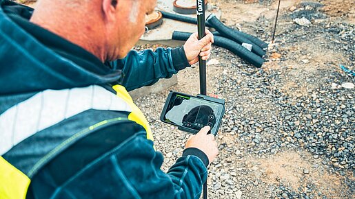
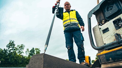
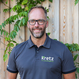
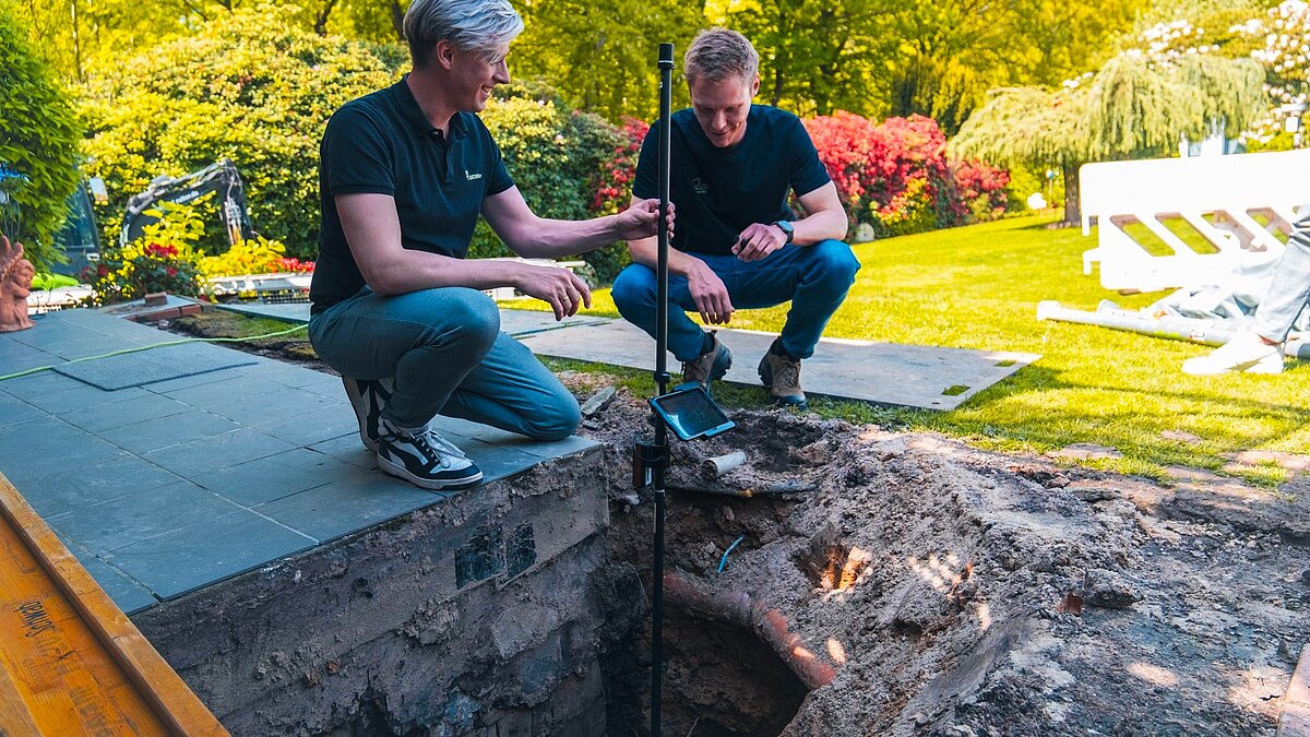
"Through the MEASURE now We are more flexible and mobile with regard to staking out and surveying.”

“I think it's excellent that you can measure and stake out on the one hand. This means that if you dig trenches for various lines, you can always find them. If there was any damage, you could find the exact location with just one click.”
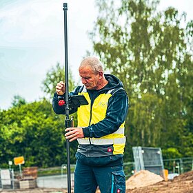
"With the Rover rod, we save an enormous amount of time: areas can be staked out directly, without waiting times. At the same time, all measurement data is immediately and accurately available in the office. This makes our processes significantly more efficient and noticeably facilitates work on the construction site."
Frequently asked questions
Who is it for? MEASURE now Suitable for PRO?
The GNSS rover system is ideal for companies that want to organize surveying, staking and documentation faster, more precisely and digitally – especially in garden and landscape construction, earthworks and civil engineering, as well as in construction management.
What can I do with MEASURE now Capture PRO?
They can record points, lines, areas, and volumes. They can also document inventory, elevations, boundaries, lines, and building structures.
Can I come with you MEASURE now PRO can also be plugged in?
Yes. MEASURE now PRO is suitable not only for taking measurements, but also for staking out construction projects and for control measurements directly on site.
What is the advantage of angled measurement?
Tilt compensation allows for precise measurements of even hard-to-reach points without requiring the rod to be perfectly vertical. This saves time and makes measurements more flexible.
How will the data be used further?
The recorded measurement and inventory data can be digitally shared and used in CAD- and billing systems.
Is MEASURE now Is the PRO suitable for everyday construction site use?
Yes. The system combines robust hardware with a construction-site-ready tablet and an intuitive app. It is designed for ease of use and quick learning.
Do I need a complete software overhaul for this?
No. MEASURE now PRO can be used as an entry point into digital surveying and gradually integrated into existing processes. During the consultation, we will assess how the system fits your current workflow.
Is the system easy to use?
Yes. MEASURE now PRO is designed for everyday construction site use: robust, intuitive and quick to set up.

Subscribe to the Dataflor newsletter
Stay up to date: with current topics, new products, events and tips for your digital workday.