Software for municipal clients
So that projects, data and evidence remain traceable.
Municipal construction and green space projects must be properly planned, documented, and implemented in a verifiable manner. This involves not only efficient processes but also transparency, legal certainty, and data that can be used in the long term.
Dataflor offers software for municipalities that want to plan, document and bill construction and green space projects transparently – for better overview, comprehensible decisions and secure project foundations.
Arrange a free consulting call Discover solutions
Typical challenges:
- Projects must be prepared and documented transparently.
- Quantities, measurements and documentation must be verifiable.
- Tenders require reliable planning data.
- Inventory data is not always up-to-date or structured.
- Coordination with planning offices, construction companies and service providers is time-consuming.
- Interfaces and data transfers must function reliably.
Decisions must remain comprehensible in the long term.
Dataflor brings this information together.
What would you like to improve in your community?
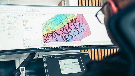
Areas, elevations, paths, green spaces or building data are digitally recorded and can be used for planning, maintenance, tendering and documentation.
Reliable quantities, plans and project information create a better basis for tendering, awarding and subsequent review.
Photos, measurements, documents, plan versions and changes are stored centrally and remain traceable in relation to the project.
Quantities, evidence and billing data are recorded in a structured manner and can be better checked.
GAEB, CAD, BIM, REB or DATEV-like processes support clean collaboration with external stakeholders.
Make processes more efficient, transparent and future-proof with seamless data flows, apps and AI-supported functions.
Suitable solutions for municipal clients
Frequently asked questions
For which municipal areas is Dataflor suitable?
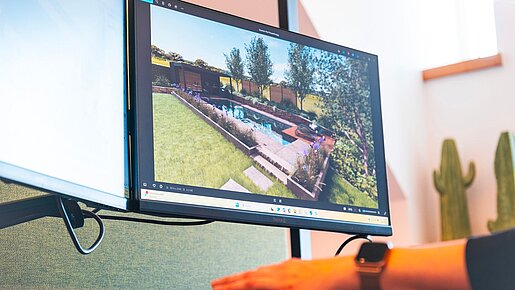
Dataflor can support municipal clients in areas such as green spaces, outdoor facilities, cemeteries, playgrounds, roadside greenery, civil engineering projects and maintenance or upkeep measures.
Does Dataflor support tendering and awarding of contracts?
Dataflor supports the creation and use of reliable planning, quantity, and project data. This data can serve as a basis for tenders and coordination with external partners.
How does digital surveying work?
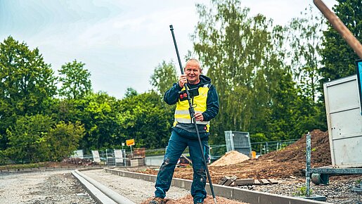
With digital surveying, you can record points, lines, areas, heights, and quantities directly on site. The data can then be used for CAD, quantity determination and invoicing can be reused.
Can I use data for machine control?
Yes. Planning and terrain data can be prepared and shared for staking and machine control.
How are amendments documented?
Additional services, quantity changes, photos, times, and documents can be digitally recorded in the project. This makes it easier to justify change orders.
How much does Dataflor cost?
The costs depend on company size, requirements, and the solutions chosen. Therefore, we create customized offers.
Ready for transparent projects and reliable documentation?
Let's look together at where Dataflor can best support your municipal processes – from inventory data and planning to tendering and documentation, as well as measurement, testing and invoicing.
Arrange a free consulting call

Subscribe to the Dataflor newsletter
Stay up to date: with current topics, new products, events and tips for your digital workday.